1
/
of
1
Armchair Academics Animated
Gyantse Fortress Illustrated Map (English, Color)
Gyantse Fortress Illustrated Map (English, Color)
Regular price
$34.50 USD
Regular price
Sale price
$34.50 USD
Unit price
/
per
Couldn't load pickup availability
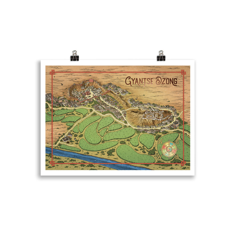
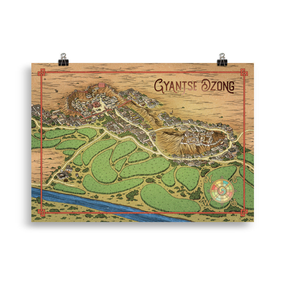
Gyantse Dzong is one of the great historical fortresses that dominated Central Tibet. Our hand drawn map of Gyantse shows the city as it existed in the late 1930s. The map is based on photographs taken by Ernst Schaefer in 1938, as well as on comprehensive sketches of the surrounding city, which were commissioned by agents of the British Raj in 1904. The map features both the ancient fortress and the neighboring complex of Palcho Monastery, all lovingly illustrated with an eye for historical detail.
• Paper thickness: 0.26 mm (10.3 mil)
• Paper weight: 189 g/m²
• Opacity: 94%
• ISO brightness: 104%
• Paper sourced from Japan
This product is made especially for you as soon as you place an order, which is why it takes us a bit longer to deliver it to you. Making products on demand instead of in bulk helps reduce overproduction, so thank you for making thoughtful purchasing decisions!
Share